
#middle east

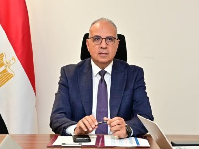
Egypt's Ministry of Water Resources and Irrigation is expanding its use of satellite imagery and remote sensing technology to detect illegal construction and other changes along waterways, according to a ministry statement on Saturday, 24 October. Minister of Water Resources and Irrigation Hani Sewilam reviewed a monitoring model developed by the ministry using Google Earth Engine, a platform that analyses satellite imagery to track changes in and around canals and other water bodies. The model identifies newly constructed buildings along…